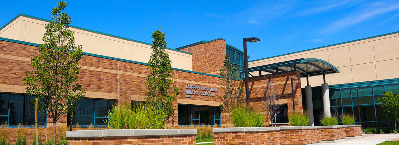
Begin at the west county line and the Denver & Rio Grande Western Railroad (approx. 10450 S.); east along the Railroad (south side) to the Mining Railroad (approx.. 8400 W.); northeast along the Mining Railroad (south and east side) to 10200 S.; east along 10200 S. (south side) to Walnut Canyon Lane (approx. 4335 W.); southeast along Walnut Canyon Lane (both sides to ERMS); to Pine Grove Way; southeast along Pine Grove Way (both sides to ERMS) to 4000 West; south along 4000 W. (west side) to 11800 S; west on 11800 S. (north side) to the Herriman City line (approx. 4570 W.); south along the Herriman City line (west side) to 12600 S. (also Herriman City line); west along Herriman City line (12600 S.) (north side) to the Mountain View Corridor; south along Mountain View Corridor (west side) to 13400 South; west along 13400 South (north side) to Rose Canyon Road (6400 W.); north along Rose Canyon Road (east side) to Butterfield Creek; west along Butterfield Creek to U111/Herriman Hwy (north side); South to Butterfield Canyon Road (approx.13320 S.); west along Butterfield Canyon Road (north side); along Butterfield Canyon Road to the west county line (north side).
Please go to the district web site for bussing info: http://planning.jordandistrict.org/boundaries/

